IECS remote sensing group
Projects
Sentinel for confidence in outdated maps (SentiMap)
Remote sensing based system for forest risk factor monitoring (ForestRisk)
Object based context aware self-learning network for land cover classification (Dynland-2)
Automated identification of mires and peatlands using multi-temporal satellite data (MireClass)
Satellite remote sensing- based forest stock estimation technology (WoodStock)
Dynamic land use monitoring by fusion of satellite data (DynLand)
Development of technologies for secure and reliable smart city (GUDPILS)
Multi-model development technology for .NET application projects (MEDUS)
Innovative technologies for acquisition and processing of biomedical images (InBiT)
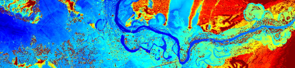
Analysis of multispectral data of Dviete floodplain (Dviete)
Development of Novel X-ray Inspection System for Fast Automated Detection of Counterfeit PCB Components (ChipCheck)
Identification of tree species in Latvian forests (TrIdent)
Modular High Speed X-ray Detection and Sorting Systems for Production Process Control and Packaging Quality Control (MODULINSPEX)