Dviete
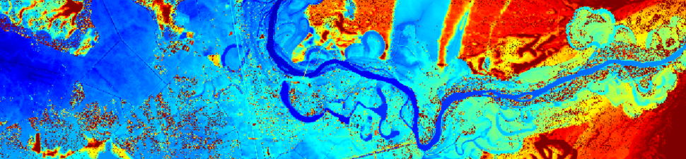
Analysis of multispectral data of Dviete floodplain
Development of methodology for discrimination of meadow habitats. Used for identification of meadows retaining biodiversity and suitable for breeding of Corncrake. Multispectral data supplied by the Institute for Environmental Solutions.
Customer: Institute for Environmental Solutions (www.videsinstituts.lv)
Period: 2011-2012
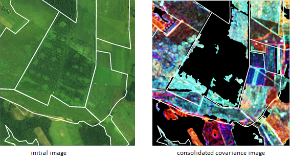
IECS developed a method for transformation of spectral data into the Consolidated Covariance Image (CCIm) suitable for discrimination between meadows with high and low biodiversity. Published in: R. Dinuls, A. Lorencs, I. Mednieks. “Using Consolidated Covariance Image for Discrimination of Habitats,” Proceedings of the 13th Biennial Baltic Electronics Conference, Tallinn, Estonia, pp.299-302, 2012.
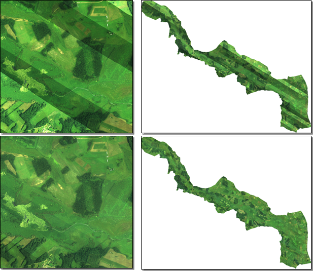
A method for correction of multispectral images combined from several parts with different brightness was developed and used for preprocessing. Published in: I.Mednieks. “A Method for Correction of Rural Multispectral Aerial Image Mosaics.” Proceedings of the 13th Biennial Baltic Electronics Conference, Tallinn, pp.295-298, 2012.