
About Dynland
Dynland is a new Land Use / Land Cover (LULC) classification approach developed for the practicable creation of LULC maps from remote sensing images. It is developed to overcome immense problems of gathering reliable field data for training of classifiers and provide GIS professionals with a tool that is both robust and easy to use.
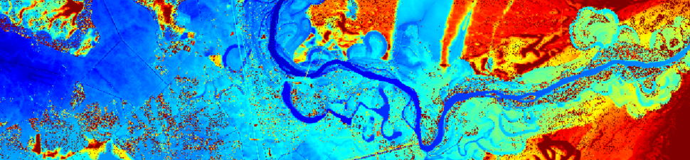
The key element of the approach is a unique clustering algorithm that forms clusters of multispectral pixels in a non-parametric way thus avoiding the use of: 1) imprecise assumptions about the statistical properties of clusters; 2) distance measures that do not take into account local properties of clusters. The local properties of pixels in the multidimensional space are taken into account instead, resulting in clusters that are close to what humans would distinguish in the image if they could view all available spectral channels and additional features at once.
Clustering starts with small clusters related to individual pixels of the image. It is an iterative process resulting in merging more and more clusters. Results of all iterations are saved and available for the following stage.
When the clustering is done, the GUI tool is provided to associate found clusters with the chosen classification categories. All information available about the area covered by the image can be used to automate that process. In addition, the user can manually select a pixel or a region on the initial image, view clusters related with them, choose relevant clusters and associate these with a particular category. If it is noticed that a cluster contains pixels from several categories, results of previous iterations can be used where its components are not merged yet.
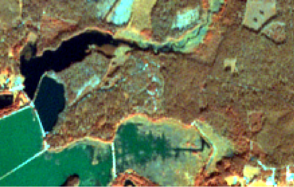
Initial Sentinel-2 image from bands 8,3,2 / Location: 56.99°N, 24.37°E
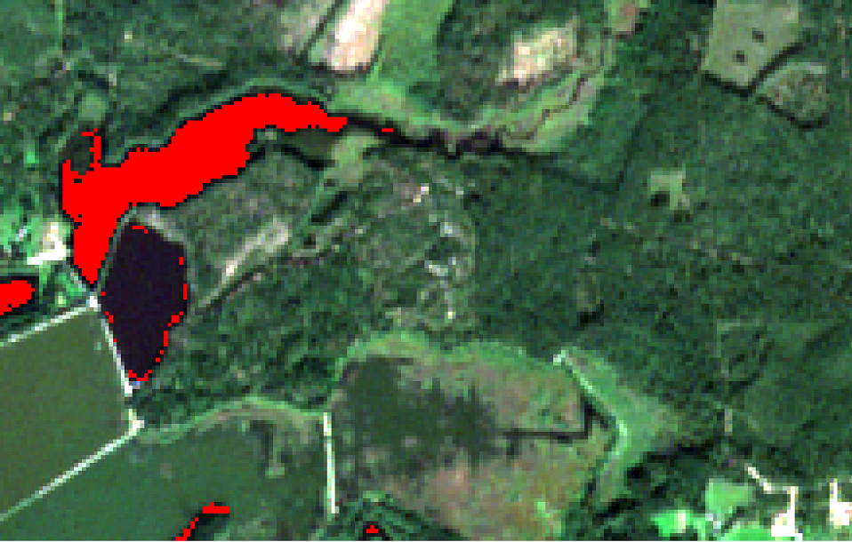
One cluster (water) (bands 4,3,2)
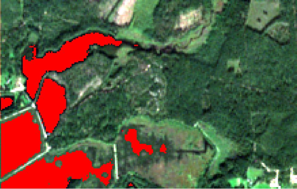
One class (water)
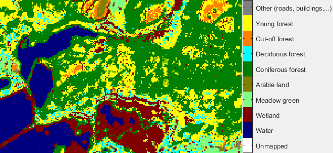
Classified image
Results obtained in iterations of the Dynland clustering algorithm can be employed to prepare classifications with different detail. For example, the coniferous forest areas contain clusters related to several subclasses that can be considered as separate categories as illustrated below.
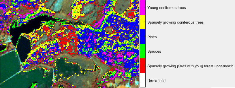
More detailed classification of coniferous forest