
SentiMap
Sentinel for confidence in outdated maps
Prime Contractor: Institute of Electronics and Computer Science
Project number: 4000139312/22/NL/SC/rp
Scientific manager: Dr.sc.comp. Ints Mednieks
Time frame: from October 12, 2022 to December 12, 2022
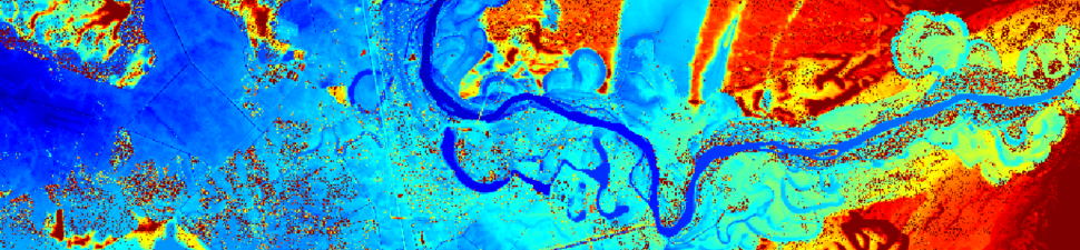
Objective: to build a technology prototype for detection of outdated areas in aerial images and land cover maps using Sentinel satellite imagery or any other up-to-date imagery
We will develop two prototype workflows (software) for identifying outdated areas in VHR aerial imagery and land cover maps (our aim is to detect change confidence, not specific land cover class changes).
Both workflows will produce a raster map layer with the same spatial resolution as the up-to-date Sentinel or VHR aerial dataset showing algorithmic confidence that information corresponding to the specific pixel is outdated.
